Back to Article
Assessment of Shoreline Deformation Using InSAR and DSAS along the San Bartholomeo River, Niger Delta, Nigeria
World Journal of Geomatics and Geosciences
| Vol 5, Issue 1
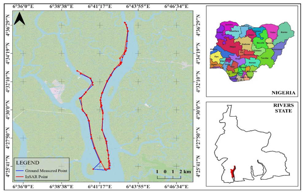
Figure 1
Figure 1.
Map of the Study Area showing its Stretch